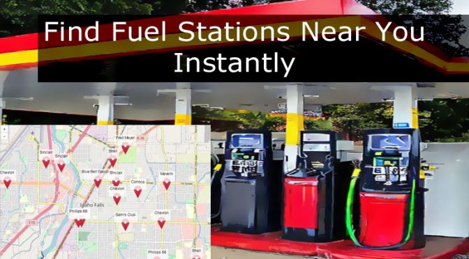
Instantly locate fuel stations in your vicinity, whether you’re at home or on the road. Leveraging the strengths of OpenStreetMap data, this online tool swiftly provides details about nearby gas stations, petrol pumps, and other fueling stations with a single click. It efficiently recognizes all types of fuel stations, without being confined to specific brands.
Instructions:
- Click the “Find Fuel Stations Nearby” button to quickly identify fueling facilities around you using your device’s geolocation feature or IP address. Alternatively, double-click or double-tap any place of interest to dive deeper.
- You also have the option to input a specific location in the search bar and press the “Search” button to find fuel stations in your desired area.
- Scan the map for red icons
 symbolizing fuel station locations.
 - Click on any fuel station icon to unveil further details, such as the station’s name, address, contact number, website, and operating hours, all in a handy popup window that also includes a link to view the location on Google Maps.
- By selecting the “View Location on Google Maps” link, you will be navigated to Google Maps in a new tab (or the app) with the fuel station’s location already set. From here, you can effortlessly obtain directions or survey the adjacent area with the immersive 3D Street View feature.

